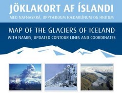
Map of the glaciers of Iceland
In cooperation with the U.S. Geological Survey (USGS) and ÍSOR the IMO has for some time worked on the publication of a map of the glaciers of Iceland, released in May 2013. The purpose of the edition is to make available a detailed map of the glaciers in the country and draw attention to the huge ongoing changes in Iceland's glaciers that occur as a result of climate change.

The map distinguishes surging glaciers from other outlet glaciers, and identifies all known sub-glacial volcanic calderas. Featured are the names of all named glaciers and the map includes a brochure and a list of glacier names.
The Map of Glaciers can be used for both tourism and scholars. It is for sale in mainstream bookstores and major tourist attractions. It can be ordered directly from Iðnú.
A book with names of glaciers
See also a news release on a book published in 2008, Geographic Names of Iceland's Glaciers, the result of a collaboration between one of IMO's specialists and the U.S. Geological Survey.


